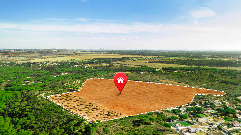
GIS Technology Revolutionizing Real Estate Investment in West Africa

Geographic Information Systems (GIS) technology is transforming the real estate landscape across West Africa, providing investors, developers, and property professionals with unprecedented insights into market dynamics, risk assessment, and investment opportunities. As the region experiences rapid urbanization and economic growth, the integration of spatial data analysis into real estate decision-making has become not just advantageous, but essential for success.
The Power of Spatial Data in Real Estate
Traditional real estate investment decisions in West Africa have often relied on limited data sources, personal networks, and intuitive market knowledge. While these approaches have their merits, they can lead to suboptimal investment decisions and increased risk exposure. GIS technology addresses these limitations by providing comprehensive spatial analysis capabilities that reveal hidden patterns, trends, and opportunities in real estate markets.
GIS enables real estate professionals to visualize and analyze multiple data layers simultaneously, including demographic information, infrastructure development, economic indicators, environmental factors, and market trends. This multi-dimensional analysis provides a more complete picture of investment opportunities and risks than traditional methods.
Key GIS Applications in Real Estate
- Site selection and feasibility analysis
- Market area analysis and demographic profiling
- Property valuation and comparative market analysis
- Risk assessment and environmental impact evaluation
- Infrastructure accessibility and connectivity analysis
- Investment portfolio optimization and diversification
Market Analysis and Investment Opportunities
One of the most significant advantages of GIS in real estate investment is its ability to identify emerging markets and investment opportunities before they become widely recognized. By analyzing spatial patterns of urban growth, infrastructure development, and demographic changes, investors can identify areas with high growth potential and position themselves advantageously.
Demographic and Economic Analysis
GIS technology enables detailed analysis of demographic trends, income patterns, and economic indicators across different geographic areas. This information is crucial for understanding market demand, identifying target customer segments, and predicting future market trends. For example, mapping population growth patterns alongside infrastructure development can reveal emerging residential markets with strong growth potential.
Infrastructure and Accessibility Mapping
Access to transportation networks, utilities, and social amenities significantly impacts property values and investment returns. GIS analysis can evaluate proximity to major roads, public transportation, schools, hospitals, and commercial centers, providing insights into the long-term viability and appreciation potential of different locations.
Risk Assessment and Due Diligence
Real estate investment in West Africa involves various risks, including environmental hazards, regulatory challenges, and market volatility. GIS technology provides powerful tools for risk assessment and due diligence, enabling investors to make more informed decisions and develop appropriate risk mitigation strategies.
Environmental Risk Analysis
Environmental factors such as flood risk, soil conditions, and climate patterns can significantly impact property values and development costs. GIS analysis can identify properties in flood-prone areas, assess soil stability, and evaluate environmental constraints that may affect development potential or long-term property values.
Regulatory and Planning Analysis
Understanding zoning regulations, land use policies, and development restrictions is crucial for real estate investment success. GIS can overlay regulatory information with property data, helping investors identify compliance requirements, development opportunities, and potential regulatory risks.
"GIS technology has transformed our approach to real estate investment in West Africa. We can now identify opportunities and assess risks with a level of precision that was previously impossible, leading to better investment outcomes and reduced risk exposure."
Case Study: Lagos Real Estate Market Analysis
A recent GIS analysis of the Lagos real estate market demonstrates the power of spatial data in investment decision-making. By analyzing population growth patterns, infrastructure development, and economic indicators, our team identified several emerging residential markets with strong growth potential.
The analysis revealed that areas along planned transportation corridors showed significantly higher appreciation potential compared to established markets. Properties within 2 kilometers of planned BRT stations showed 15-20% higher growth rates over a 5-year period, demonstrating the value of infrastructure proximity analysis.
Implementation Strategies for Real Estate Professionals
To effectively leverage GIS technology in real estate investment, professionals should consider the following implementation strategies:
- Invest in GIS software and training for key team members
- Develop partnerships with GIS specialists and data providers
- Create standardized analysis workflows for investment evaluation
- Build comprehensive spatial databases for target markets
- Integrate GIS analysis into due diligence processes
- Use GIS insights to enhance client presentations and reports
Future Trends and Opportunities
The future of GIS in West African real estate looks promising, with emerging technologies such as artificial intelligence, machine learning, and satellite imagery analysis enhancing the capabilities of spatial analysis. These technologies will enable more sophisticated predictive modeling, automated market analysis, and real-time market monitoring.
As data availability improves and technology costs decrease, GIS analysis will become increasingly accessible to smaller real estate firms and individual investors, democratizing access to sophisticated market analysis tools.
Conclusion
GIS technology represents a paradigm shift in real estate investment analysis for West Africa. By providing comprehensive spatial analysis capabilities, GIS enables more informed investment decisions, better risk management, and improved investment outcomes. As the technology continues to evolve and become more accessible, its adoption will likely become essential for competitive success in the region's dynamic real estate markets.
Real estate professionals who embrace GIS technology today will be better positioned to identify opportunities, manage risks, and deliver superior returns in the rapidly evolving West African real estate landscape.
Subscribe to Our Newsletter
Get the latest insights and expert analysis delivered directly to your inbox.